We use cookies to make your experience better. To comply with the new e-Privacy directive, we need to ask for your consent to set the cookies. Learn more.
Terrain path optimization using the connectivity graph approach applied to GIS data structures
€20.00
In stock
Only 2 left
SKU
978-951-42-9239-2
Antikainen, Harri
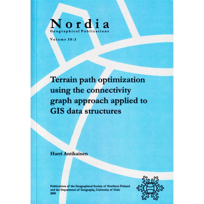
Terrain path optimization using the connectivity graph approach applied to GIS data structures
Geographical Society of Northern Finland. Department of Geography, University of Oulu
Nordia Geographical Publications 38:3
Oulu 2009, XIII + 98 + 8 pp.
Terrain path optimization using the connectivity graph approach applied to GIS data structures
Geographical Society of Northern Finland. Department of Geography, University of Oulu
Nordia Geographical Publications 38:3
Oulu 2009, XIII + 98 + 8 pp.
The main objective of this dissertation is to investigate alternative methods for converting GIS data representing terrain traversability conditions into a connectivity graph representation, enabling the determination of optimum terrain traversal paths, and implement them in the GIS environment. In addition to implementing variations of the conventional grid-based approach, an alternative grid-based method as well as a vector-based method for terrain path optimization is proposed and implemented in this study. Furthermore, special emphasis is put on the post processing of terrain paths.
| Publisher | Geographical Society of Northern Finland |
|---|---|
| ISBN | 978-951-42-9239-2 |
| ISSN | 1238-2086 |
| Series | Nordia Geographical Publications |
| Sarjanro | 38:3 |
| Published (year) | 2009 |
| Cover | Softcover |
| Type of Binding | Softcover binding |
| Languages | english |
| Disciplines | Geography |


